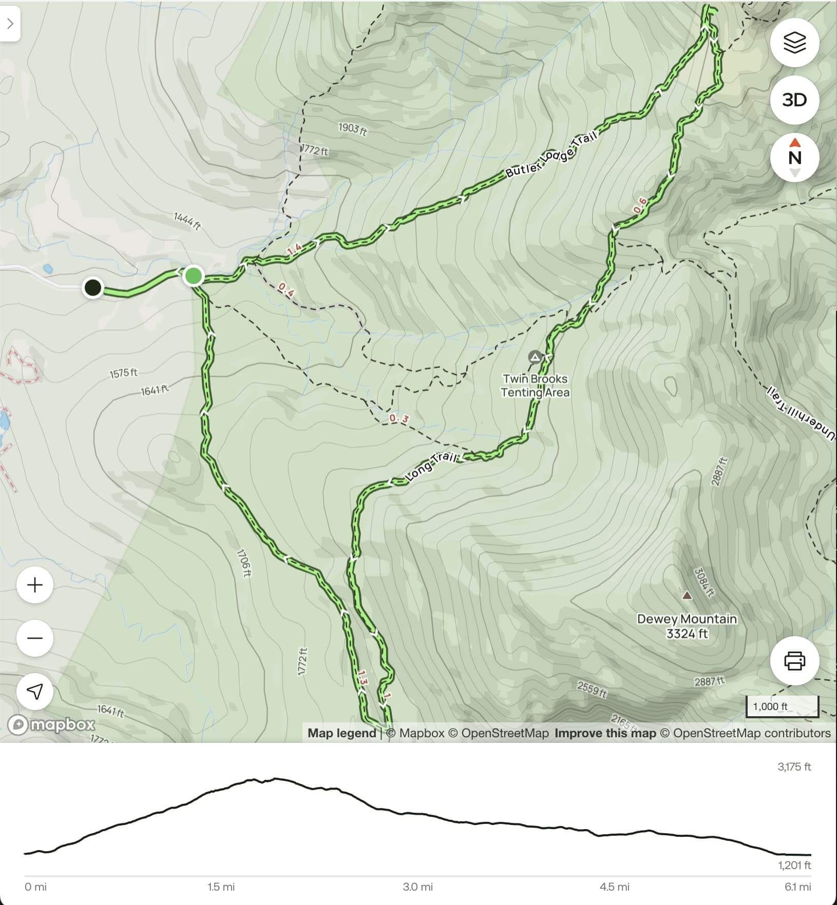
Butler lodge to nebraska notch loop
A wet morning hike and the worry that came with it
Trails that were dry last week now had waterfalls from a recent long-awaited Vermont rain. The rain was done, but the air was wet. Especially when I drummed up perspiration.
The impending wetness stirred up anxiety the night before.
My first worry was wet stones. Certain trails in this area have steep sheer rocks as the primary path. This stretch of the Long Trail is known for treacherous footing. I now have a pup, who’s coming with. So I have to concern myself with their trail experience on slippery rocks and possible jumps across slippery rocks. Worry three, mortality. My wife is in Europe right now. Far-fetched but real, I’m the sole person responsible for the kids at the moment, if anything was to happen to me while on the trail, when they came home from school I wouldn’t be there.
Those were the before-thoughts. For the actual trip, reality proved pretty smooth.
Brooklyn the pup was ecstatic off-leash, drifting within a 50-foot radius of me. It was a quiet friday on the trail with only a few cars at the trailhead, so I didn’t need to gather her up for approachers more than twice.
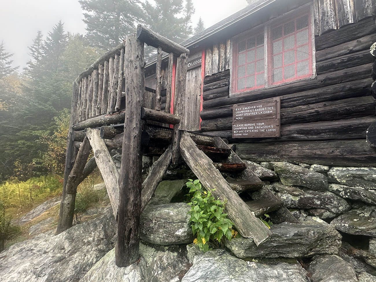
I made good time up the steep climb from the Stevensville road trailhead to Butler Lodge, but not without breath-catching breaks leaning against trees, wondering, “why did I choose this?” Read a little more about the loop I took.
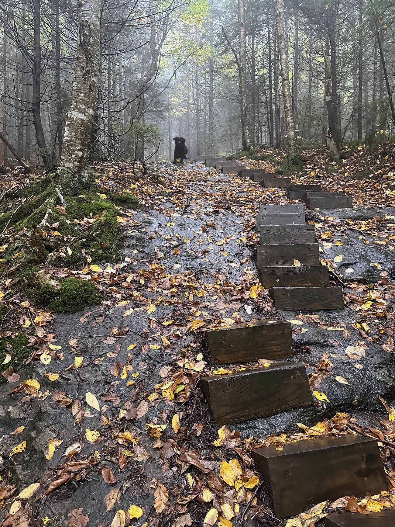
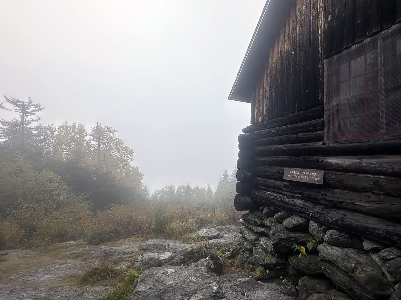
The fog was thick up there. It washed out all contrast and color. The trees there were coniferous with splashes of color from the understory.
The grade for the next portion of the loop, where you’re on the Long Trail, was gentle. As I descended, the forest transitioned to birch, beech, and maple with the occasional tiny hemlock. The first round of fall leaves covered the trail, although 80% of the trees were still green. The path alternated between flat stretches and mild downhill; walking wasn’t exactly easy, with softball to small boulder sized rocks covering the way. Not a path to walk while looking at your phone.
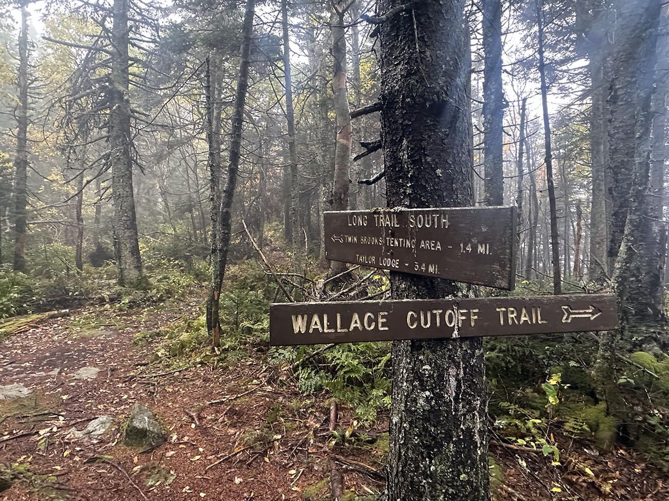
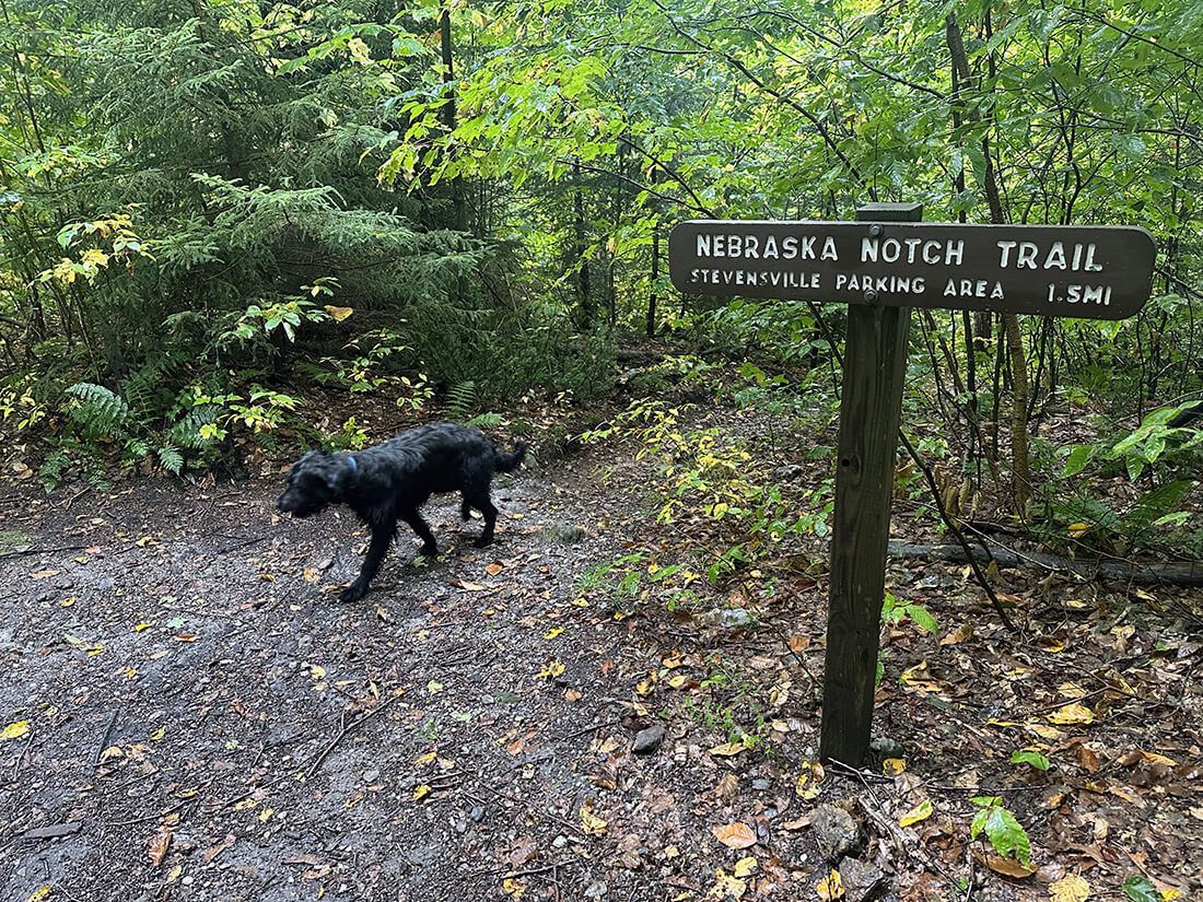
While thinking through my worries, I realized how much I value trail signs. Cell service can be patchy and maps can get lost, but you’ll be fine if the trails are marked and you remember your trail names. That appreciation brought to mind Guy Waterman—a legendary hiker of the White Mountains. Waterman climbed all 48 of New Hampshire’s 4,000-foot peaks. In winter. Approaching them from each cardinal direction.
Bushwhacking like that demands noticing subtler signs: ridges, rivers, and the shape of the land itself. It’s a practiced disorientation, where the goal isn’t to avoid getting lost, but to grow comfortable with it. I imagine that for people like Waterman, mastery over the terrain replaces fear with confidence.
Yes, it’s extreme to eschew trodden trails in favor of tramping and rambling to the peak. Maybe that kind of commitment is what’s required to gain a more intimate knowledge of the land in our age. Frankly, I’m not sure I have the stomach for it. Treating it as a gradual exposure therapy, maybe.
Seeing the sign for the last junction elated me. The risk of getting lost or caught in a downpour lessened. The trail flattened and widened. The mist was subsiding as well as the worries. The overcast was starting to break. I enjoyed my thermos of coffee + protein powder on the last 1.5 miles. (I need to remember this coffee idea.)
Back at the car at 10:45. Legs beat. Got hit by not a raindrop. Those worries were for naught, except that they dug up the Waterman figure and allowed a mediation on the fear of being lost. Good way to start the day.